Defaults
Various default values can be set with the JavaScript object webgis.defaults.
For example, user settings that the user makes in the viewer via Settings (burger menu) are stored in the local browser storage:
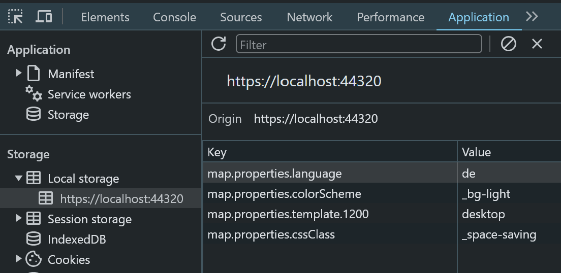
If a user opens the viewer and has not yet made any settings,
default values can be set with webgis.defaults:
// sets the default language
webgis.defaults["map.properties.language"] = "en";  // de

// sets the default styling (here: space-saving)
webgis.defaults["map.properties.cssClass"] = "_space-saving";  // default

//sets the default color scheme (here: Light)
webgis.defaults["map.properties.colorScheme"] = "_bg-light";  // default, _bg-dark

// sets the default viewer layout for larger screens (here: desktop)
webgis.defaults["map.properties.template.1200"] = "desktop";  // touch

// set defaults for user preferences
// automatically select feature after query/identify
webgis.defaults["user.preferences.select-new-query-results"] = "yes";
// do not show markers automatically after query/identify
webgis.defaults["user.preferences.show-markers-on-new-queries"] = "no";
// sets the default display mode of the sketch info overlay
// "default"  => full display (geometry, segment, snapping, construction) - default
// "hidden"   => overlay is never shown
// "minimal"  => only snapping / construction tool info
webgis.defaults["user.preferences.sketch-info-display-mode"] = "minimal";
If you want these default values to always be set, regardless of what the user
sets, a ! can be prefixed to the corresponding value:
// forces the desktop layout for larger screens
webgis.defaults["map.properties.template.1200"] = "!desktop";